Standing above the clouds during India's monsoon is one of travel's most surreal experiences. Here are 10 destinations where you can do exactly that in 2026.
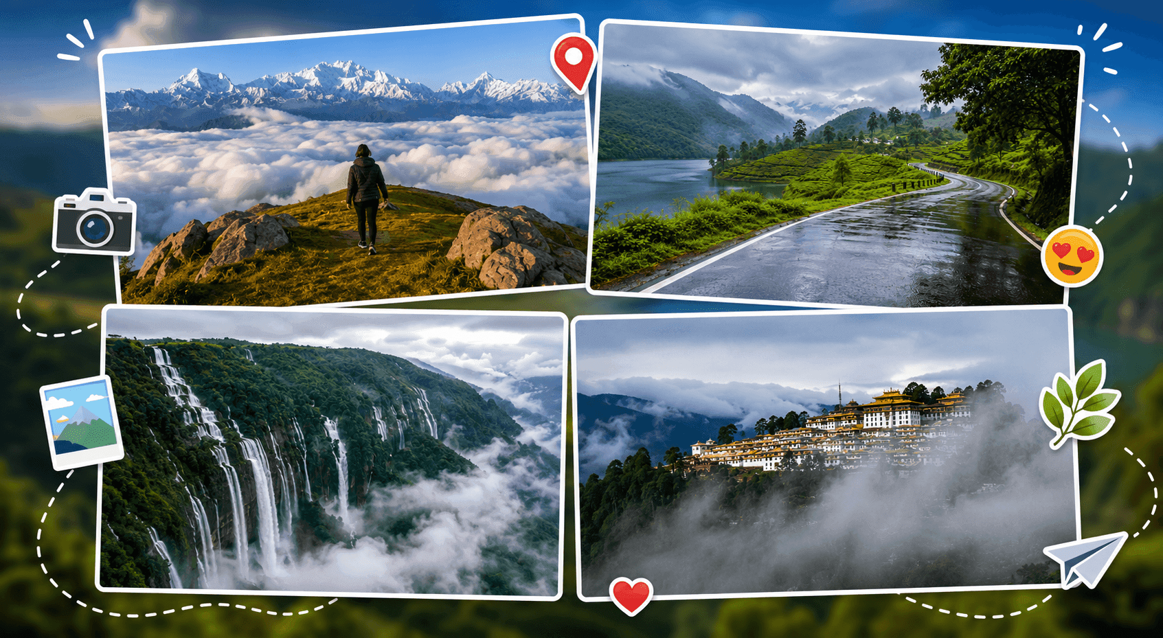
There is something extraordinary about standing above the clouds. The valley disappears beneath a white blanket of mist, the air turns cool and electric with rain, and for a few breathtaking minutes, the world below ceases to exist. India's monsoon season - June to September - transforms its hills and mountains into some of the most surreal landscapes on the planet.
This guide covers the 12 best places in India to visit during the monsoon in 2026, where you can literally stand above the clouds. Each destination includes how to reach it, what to do, where to stay, and exactly when to go - everything you need to plan your trip.
| Destination | State | Best For | Best Time |
|---|---|---|---|
| Nandi Hills | Karnataka | Easy weekend escape | June–September |
| Mullayanagiri | Karnataka | Trekking, photography | July–September |
| Kudremukh | Karnataka | Scenic trails, nature | June–September |
| Coorg (Madikeri) | Karnataka | Plantations, viewpoints | June–September |
| Munnar | Kerala | Tea gardens, Top Station | June–September |
| Meesapulimala | Kerala | Offbeat peak trek | July–September |
| Cherrapunji | Meghalaya | Waterfalls, root bridges | June–September |
| Sandakphu | West Bengal | Himalayan cloud views | Late June–September |
| Triund | Himachal Pradesh | Accessible Himalayan trek | July–September |
| Tawang | Arunachal Pradesh | Monasteries, remote Himalayas | July–September |
| Auli | Uttarakhand | Alpine meadows, cloud inversions | July–September |
| Lonavala | Maharashtra | Waterfalls, weekend getaway | June–September |
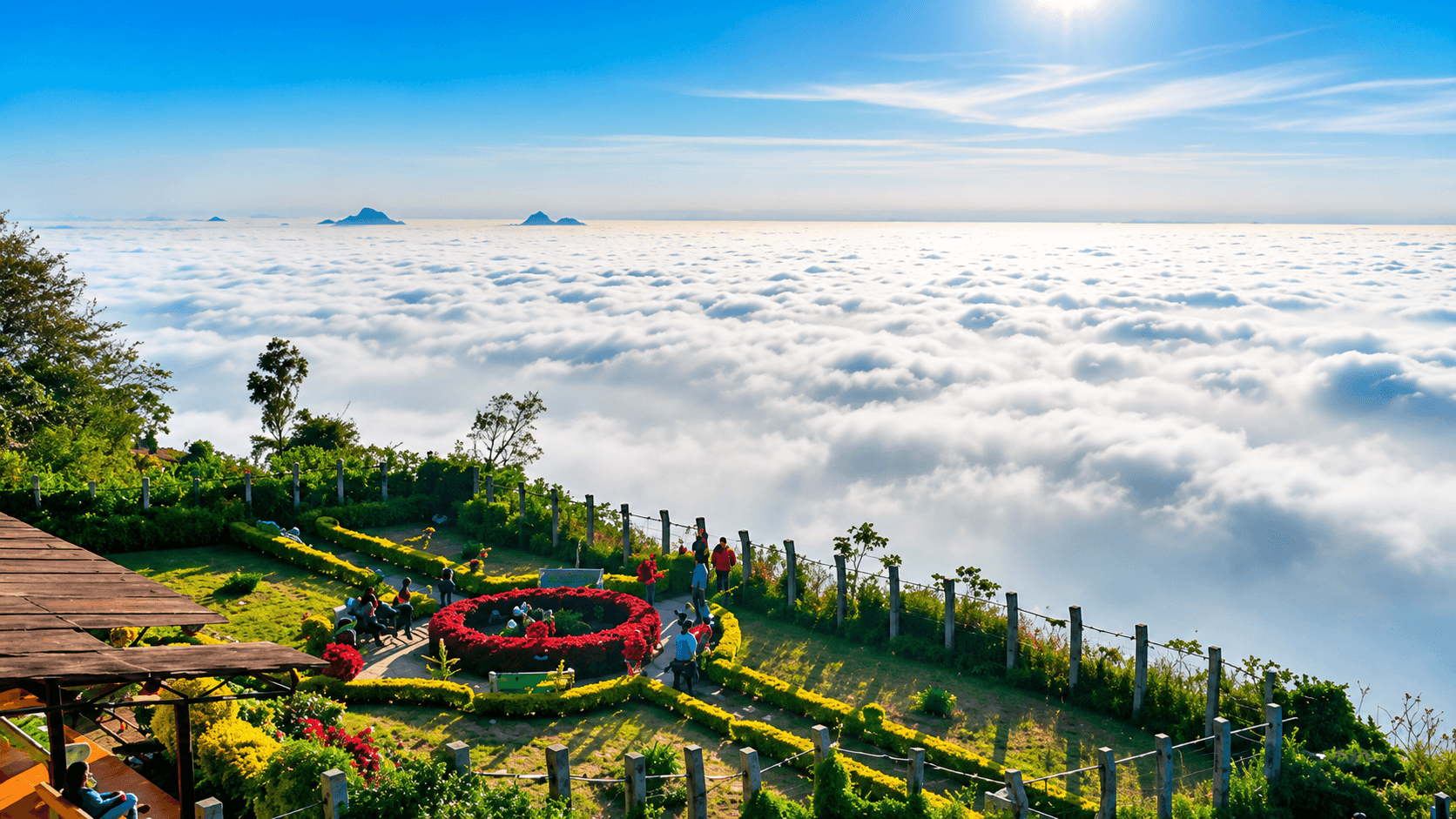
Elevation: 1,478 m | Nearest City: Bengaluru (60 km)
If you live in Bengaluru and want a cloud experience without a long journey, Nandi Hills is your answer. During monsoon, the entire valley below the fort drowns in a thick sea of clouds before sunrise - one of the most accessible and photogenic cloud inversions in South India.
What to do:
How to reach: 60 km from Bengaluru via NH-648. Drive takes about 1.5 hours. KSRTC buses available from Bengaluru, but a private car gives you flexibility to arrive before sunrise.
Where to stay: Several resorts and homestays are available at the foothills starting from ₹2,000/night. Avoid staying atop the hill as accommodation options are limited.
Tip: Weekdays are far less crowded. On weekends, the hilltop fills up quickly after sunrise.
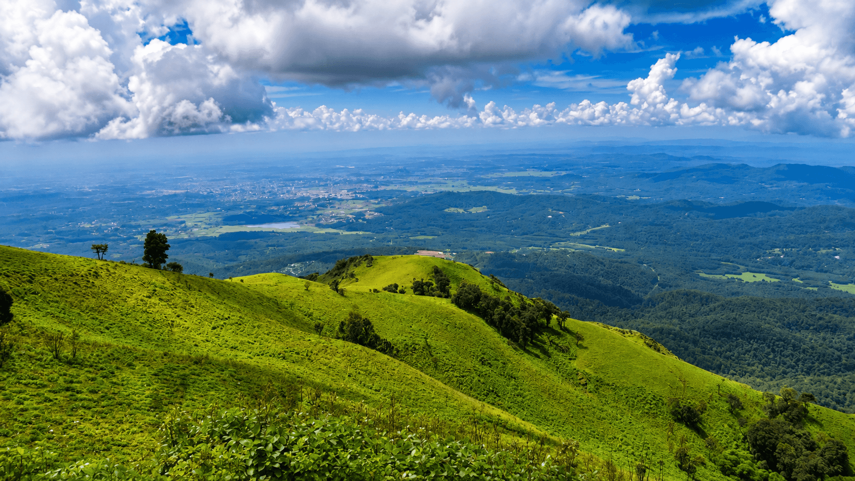
Elevation: 1,930 m | Nearest City: Chikkamagaluru (25 km)
The highest peak in Karnataka, Mullayanagiri sits deep in the Western Ghats and is completely swallowed by clouds during the monsoon months. Dense mist drifts across the slopes constantly, and on clear windows between showers, the view of cloud-covered valleys stretching toward the horizon is extraordinary.
What to do:
How to reach: Drive from Chikkamagaluru town (about 25 km, 45 minutes). Buses run from Chikkamagaluru to the base; shared jeeps cover the final stretch. Bengaluru to Chikkamagaluru is approximately 240 km (5 hours).
Where to stay: Chikkamagaluru town has budget guesthouses (₹800–₹1,500) and mid-range hotels (₹2,500–₹5,000). Coffee estate homestays nearby offer a memorable experience.
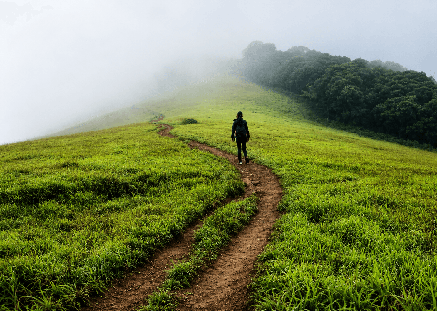
Elevation: 1,892 m | Nearest City: Chikkamagaluru (85 km)
Kudremukh - named after its horse-face shaped peak - is one of the most dramatic trekking destinations in South India. The Western Ghats here receive some of the heaviest rainfall in Karnataka, and the result is a landscape of impossible green that you simply won't see at any other time of year. As you climb, you walk through the clouds before emerging above them.
What to do:
How to reach: 85 km from Chikkamagaluru town via Kalasa. Drive takes 2.5–3 hours on winding ghat roads. Buses run from Chikkamagaluru to Kalasa; local transport connects to Kudremukh.
Important: Trekking inside Kudremukh National Park requires prior permits from the forest department. Book in advance during monsoon weekends.
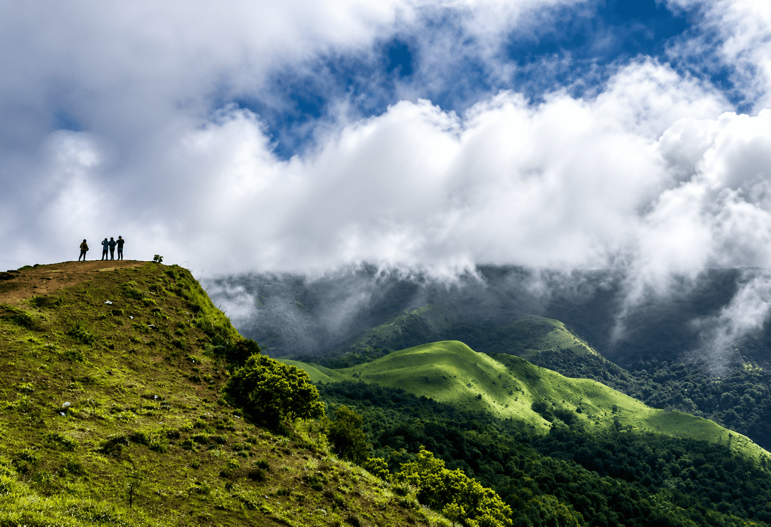
Elevation: 1,525 m | Nearest City: Madikeri (town centre)
Often called the Scotland of India, Coorg earns that title most during the monsoon. The coffee and cardamom plantations are at their most fragrant, waterfalls that are dry in summer thunder back to life, and the viewpoint at Mandalpatti offers one of the best "standing above the clouds" experiences in Karnataka.
What to do:
How to reach: Madikeri is 260 km from Bengaluru (5 hours), 120 km from Mangaluru (3 hours). KSRTC and private buses connect both cities to Madikeri regularly.
Where to stay: Homestays and estate resorts range from ₹2,500 to ₹8,000/night. Booking in advance is strongly recommended for weekends.
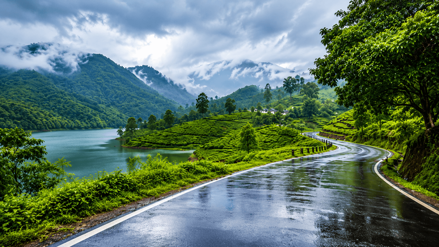
Elevation: 1,600 m | Nearest City: Kochi (130 km)
Munnar's rolling tea estates look like a different world during the monsoon - every shade of green is amplified, waterfalls appear from nowhere, and the mountain viewpoints at Top Station and Mattupetty offer dramatic cloud inversions where you watch clouds drifting hundreds of metres below your feet.
What to do:
How to reach: Munnar is 130 km from Kochi (3.5 hours), 175 km from Thrissur. Regular buses and private cabs are available. Nearest airport is Cochin International.
Where to stay: Wide range from budget guesthouses (₹1,000–₹2,000) to luxury plantation resorts (₹8,000+). Book 2–3 weeks ahead for July–August weekends.
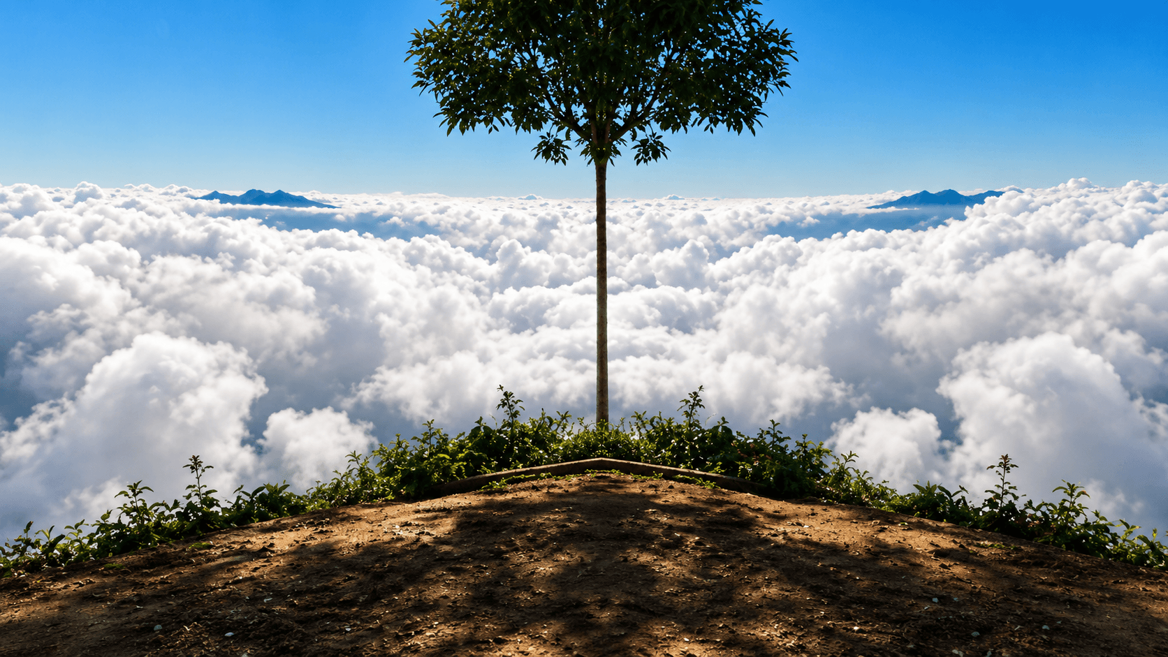
Elevation: 2,640 m | Nearest City: Munnar (25 km)
Kerala's second-highest peak is one of the most rewarding and least crowded monsoon treks in South India. The surrounding Shola forests are perpetually misty during the monsoon, and the summit views reveal layer after layer of cloud-covered mountains stretching toward Tamil Nadu.
What to do:
How to reach: 25 km from Munnar town toward Rajamala. Private jeeps available from Munnar. Trekking permits must be obtained from the Kerala Forest Department.
Note: This is a regulated forest trek. Always go with a licensed guide, especially during monsoon when trails can be slippery.
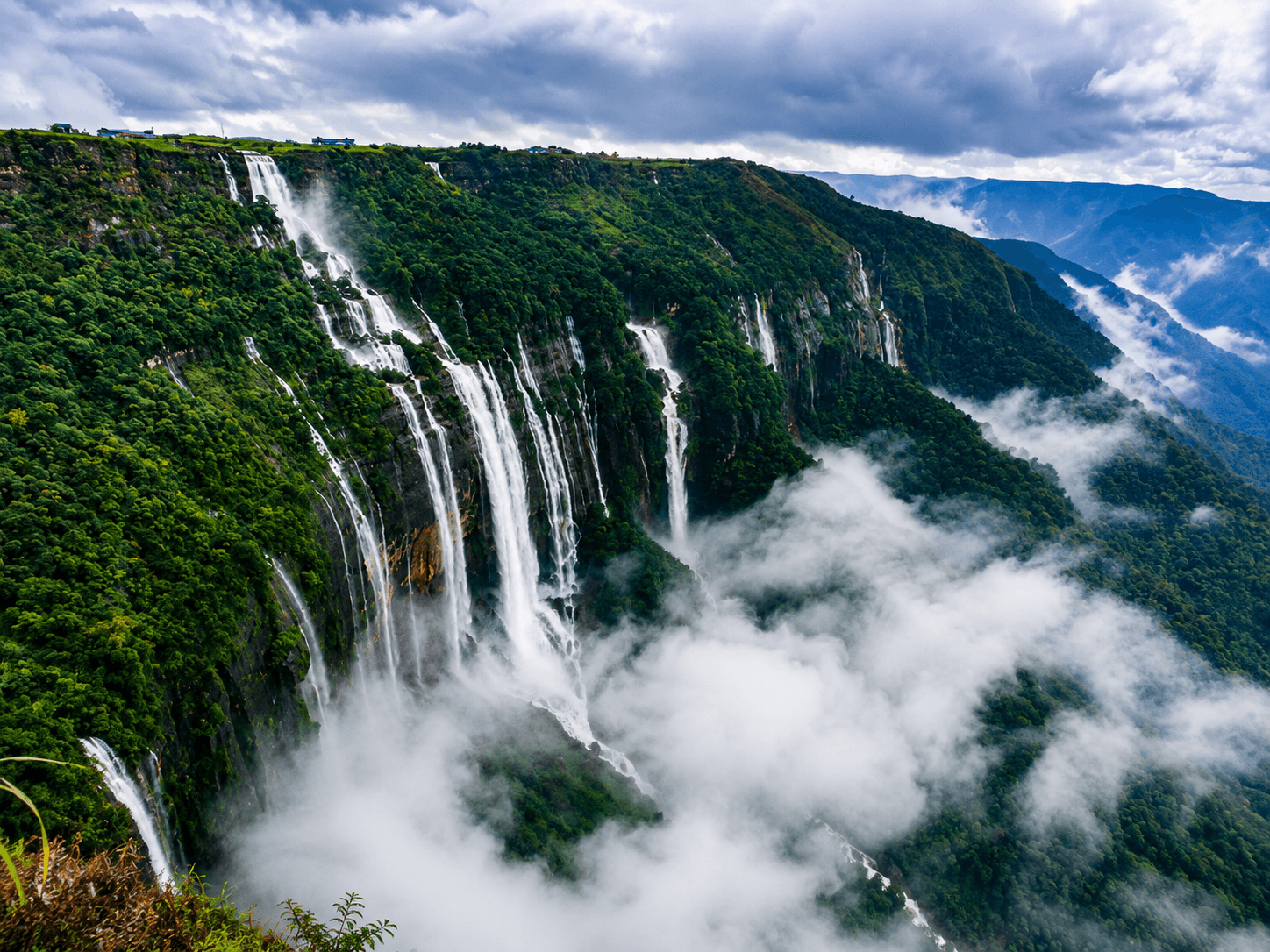
Elevation: 1,300 m | Nearest City: Shillong (55 km)
If you want to understand what monsoon truly means, come to Cherrapunji. One of the wettest places on Earth, Cherrapunji receives over 1,000 mm of rainfall in a single month during peak monsoon - and the result is a landscape of thundering waterfalls, rolling clouds, and ancient living root bridges unlike anything else in India.
What to do:
How to reach: 55 km from Shillong (1.5–2 hours by road). Shared taxis from Shillong's Police Bazaar cost ₹150–₹200 per seat; private cabs ₹800–₹1,200. Guwahati is the nearest major airport (150 km from Shillong).
Where to stay: Budget guesthouses in Cherrapunji from ₹1,200–₹3,000/night. Combine with 2 nights in Shillong for a complete Meghalaya monsoon trip.
Tip: September to early October is a slightly gentler window - waterfalls are still impressive, but the rainfall is less relentless and roads are more manageable.
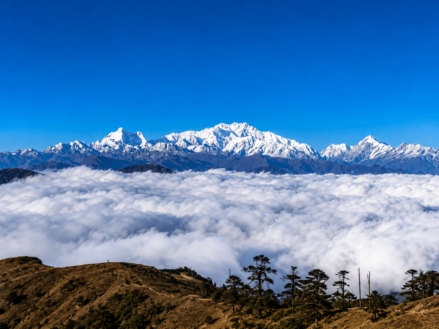
Elevation: 3,636 m | Nearest City: Darjeeling (65 km)
The highest point in West Bengal, Sandakphu sits on the India-Nepal border and offers one of the most extraordinary monsoon cloud experiences in the entire Himalayan region. On clear mornings, you can see four of the world's five highest peaks - Everest, Kanchenjunga, Lhotse, and Makalu - emerging above a sea of rolling monsoon clouds.
What to do:
How to reach: Manebhanjan (21 km from Darjeeling) is the trek starting point. Darjeeling is 70 km from New Jalpaiguri (NJP) railway station - one of India's best-connected railway hubs. Bagdogra Airport serves the region.
Permits: Indian nationals require a Singalila National Park permit (₹200) and a separate Restricted Area Permit available at Manebhanjan checkpost.
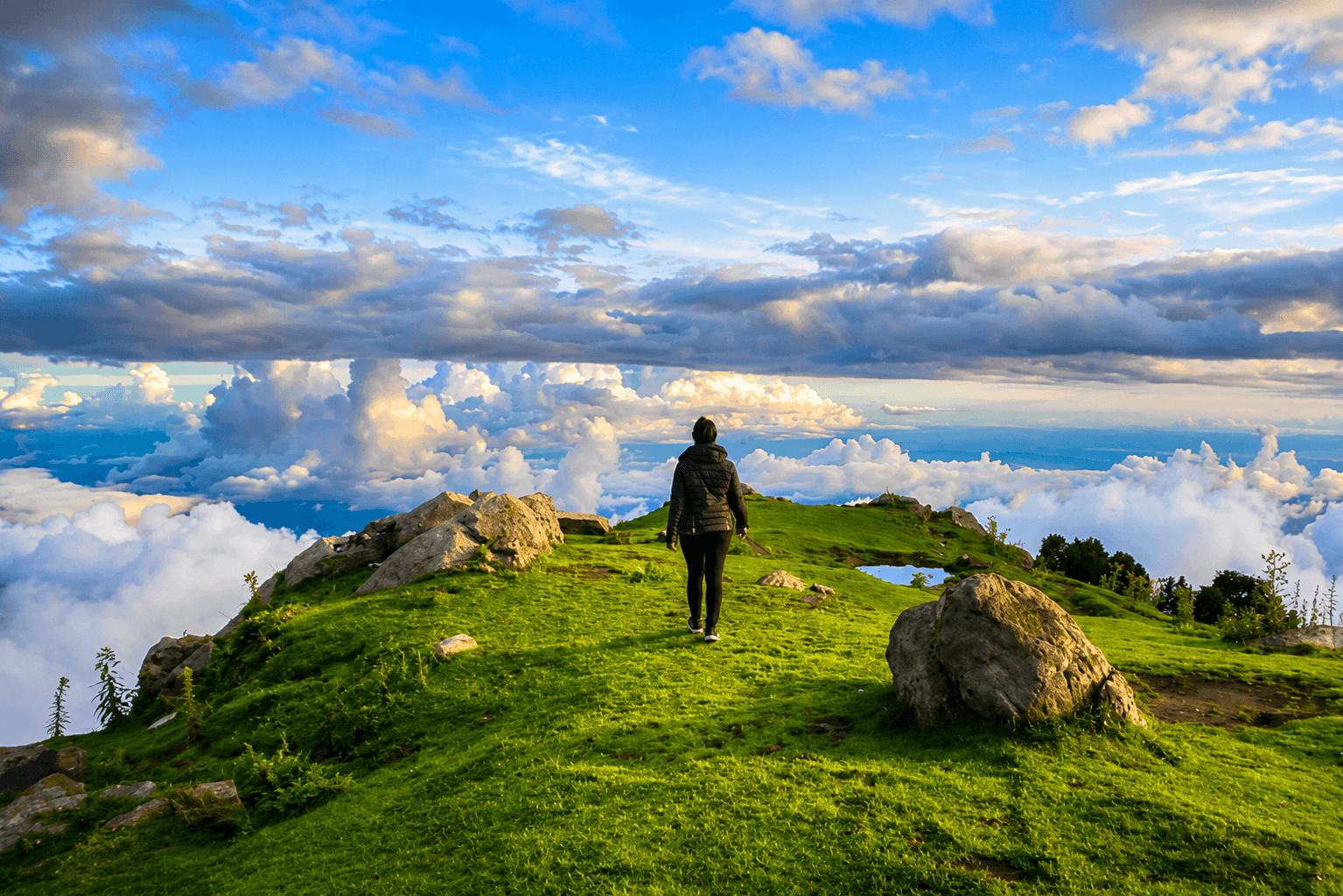
Elevation: 2,875 m | Nearest City: Dharamshala (18 km)
Triund is one of the most accessible Himalayan treks in India and offers some of the most rewarding monsoon views anywhere in the mountains. The ridge overlooks the entire Kangra Valley, and during the monsoon, vast sheets of cloud roll through the valley below while the Dhauladhar range towers above -a view that feels genuinely cinematic.
What to do:
How to reach: McLeod Ganj is 10 km from Dharamshala town, which is well-connected by bus from Delhi (12 hours), Chandigarh (5 hours), and Pathankot (2 hours). Nearest airport is Gaggal (Dharamshala Airport), 15 km away.
Note: Camping at Triund is restricted to designated zones. Check current NGT regulations before planning an overnight stay.
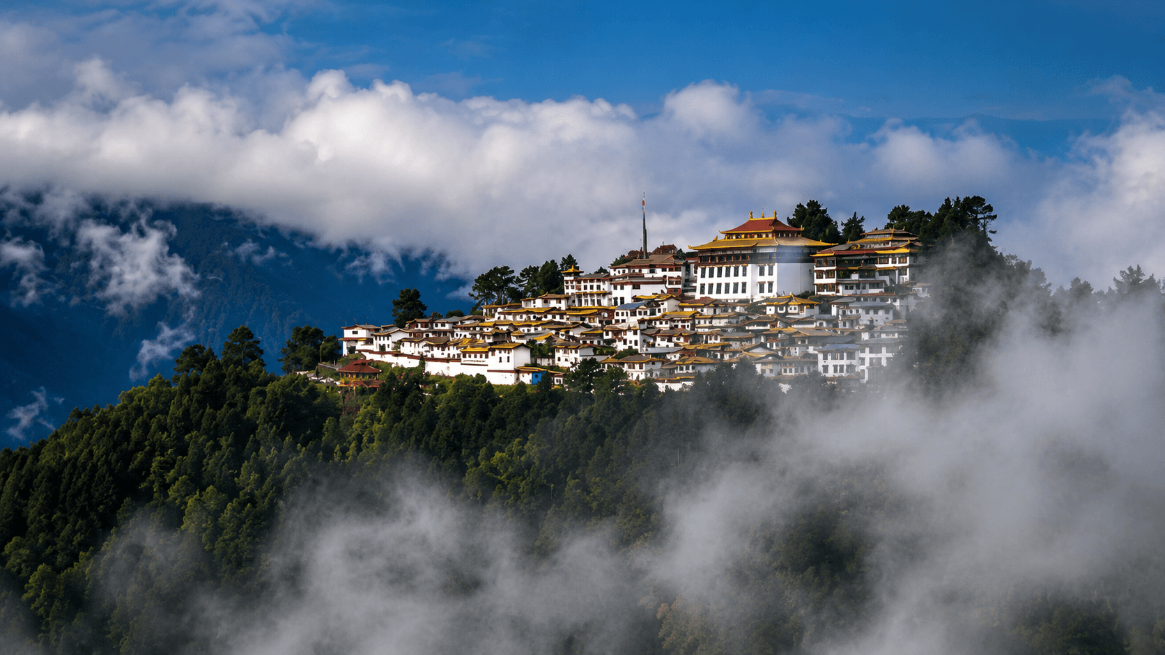
Elevation: 3,048 m | Nearest City: Guwahati (500 km)
Remote, rarely crowded, and staggeringly beautiful, Tawang is one of India's most underrated monsoon destinations. The Eastern Himalayan valleys are draped in monsoon clouds throughout the season, and the Buddhist monasteries perched on ridges above the clouds create scenes of remarkable stillness and beauty.
What to do:
How to reach: Tawang is approximately 500 km from Guwahati (15–18 hours by road via Bhalukpung and Sela Pass). Nearest airport is Tezpur (320 km). The Arunachal Pradesh Inner Line Permit (ILP) is mandatory for all non-residents — apply online at the Arunachal Pradesh government portal.
Best window: July to early September. Check road conditions before travelling as landslides on the Sela Pass route are possible during heavy rain.
What to pack:
Road and safety notes:
Best months by region:
Q: Which is the best monsoon destination in India to stand above the clouds? For South India, Mullayanagiri and Coorg's Mandalpatti are the most reliable. For a Himalayan cloud inversion, Sandakphu and Triund are outstanding. For a unique experience, Cherrapunji offers cloud scenery unlike anywhere else in India.
Q: Is it safe to travel to hill stations during monsoon? Generally yes, with preparation. The main risks are landslides on ghat and mountain roads and slippery forest trails. Always check road conditions before travel and avoid driving on mountain roads at night during heavy rain.
Q: Which monsoon destination is closest to Bengaluru? Nandi Hills (60 km) is the closest - a morning drive away. Coorg (260 km) and Chikkamagaluru (240 km) for Mullayanagiri are the best overnight options.
Q: Which monsoon destination is best for first-time trekkers? Triund (Himachal Pradesh) and Nandi Hills (Karnataka) are the most beginner-friendly. Kudremukh and Mullayanagiri are moderate. Sandakphu and Meesapulimala require good fitness and prior trekking experience.
Q: Do I need permits for any of these destinations? Yes - Kudremukh, Meesapulimala, and Sandakphu require forest/national park permits. Tawang requires an Arunachal Pradesh Inner Line Permit (ILP). Permits for most destinations can be arranged locally or online in advance.
Monsoon is the most underrated travel season in India. While the crowds thin and the prices drop, the landscapes reach their absolute peak - waterfalls thunder, valleys turn every shade of green, and the cloud inversions on India's hills and mountains create views that photographs simply don't do justice.
Whether you're driving 60 kilometres from Bengaluru to Nandi Hills or making the long journey to Tawang's Buddhist ridge, the experience of standing above the clouds in monsoon India is one you'll carry with you for years. Pack your rain jacket, embrace the mist, and go.
Share it with your friends